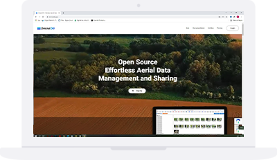
DroneDB
DroneDB is secure fault tolerant database, designed to scale with the growing needs of companies that routinely organize, process, annotate and share aerial data.
The ideal solution to extract and index useful information from aerial data which can be indexed into a database, synced to a repository, augmented and managed in a distributed, scalable manner.
DroneDB makes aerial data discoverable and queryable
An innovative system capable of overcoming the limitations of existing solutions in terms of archiving and indexing large quantities of geospatial files. This includes raw aerial images, elevation models, orthophotos, point clouds and metadata such as reports, user-defined information, and any other data associated with the files.The main feature of DroneDB is the ability to store and process aerial images through a single database system.

